

Lower Brule Sioux Tribe of the Lower Brule Reservation, SD
- 187 Oyate Circle , Lower Brule , SD , 57548
- (605) 473-5561
- (605) 473-5606
- Send Email
- https://www.bia.gov/regional-offices/great-plains/south-dakota
- www.familysearch.org
- https://www.legendsofamerica.com/na-sioux/
- http://www.sdtribalrelations.com/tribes/LowerBrule.aspx
- https://en.wikipedia.org/wiki/Lower_Brule_Indian_Reservation
- https://www.bia.gov/bia/ois/tribal-leaders-directory/tribes/lower-brule
- https://www.bia.gov/regional-offices/great-plains/south-dakota/lower-brule-agency
- https://kids.kiddle.co/Lower_Brule_Indian_Reservation
- http://www.nativepartnership.org/site/PageServer?pagename=PWNA_Native_Reservations_LowerBrule
- https://www.lowerbrulesiouxtribe.com
About
The Lower Brulé Indian Reservation is an Indian reservation that belongs to the Lower Brulé Lakota Tribe. It is located on the west bank of the Missouri River in Lyman and Stanley counties in central South Dakota in the United States. It is adjacent to the Crow Creek Indian Reservation on the east bank of the river. The Kul Wicasa Oyate (lower…men…nation), the Lower Brulé Sioux, are members of the Sicangu (Burnt Thigh), one of the bands of the Lakota Tribe. Tribal headquarters is in Lower Brule.
The Sioux consist of a group of self-governing tribes speaking one of three dialects of the Siouan language: Dakota, Nakota and Lakota. The Dakota or Santee, who identify as by the autonymns of Mdewakantonwan, Wahpetowan, Wahpekute, or Sisseton, range in territory from the Ohio River valley to South Dakota. The Dakota or Nakota, known as the Ihanktonwan/Yankton or Yanktonai/Ihanktonwanna, range from eastern Minnesota to the Missouri River valley. The Lakota, or Western Teton/Tituwan Sioux, consisting of the Oglala, Mniconjou, Sicangu, Sihasapa, Oohenunpa, Hunkpapa, and Itazipco, traditionally ranged from lands east of the Missouri River valley to the Rocky Mountains. A common history and language, a strong respect for the land and nature, the common use of Pipestone and the reverence held for the stone, and ceremonies such as the Sun Dance, Sweat lodge, and Vision Quest, bind these peoples together.
The name 'Brule' comes from the French word brûlé (burnt), the name French fur traders used for the Sicangu in the late 17th century. The Sicangu divided into the Lower Brulé and the Heyata Wicasa, or Upper Brulé, in the late 18th century. The Lower Brulé favored lands at the confluence of the White River and the Missouri River, while the Upper Brulé lived further south and west.
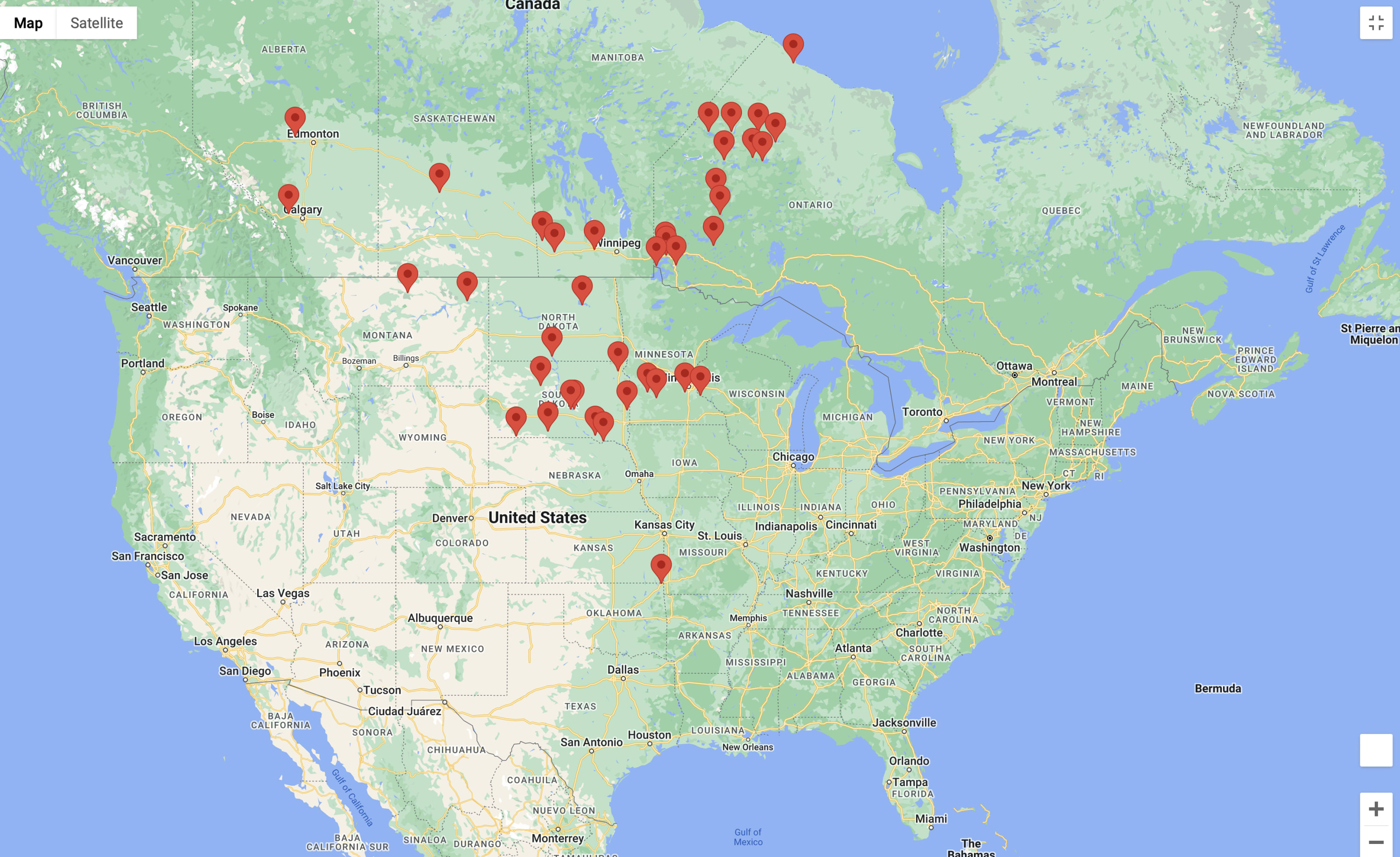
Click Here to See Map & Listing of Churches
Click Picture Below to Access


Click Enlarge Map and then Click Nearby to see all restaurants, gas stations, hotels...etc nearby. This may not appear on phone view.
Video Media
Additional Info
SOUTH DAKOTA RECOGNIZED TRIBES AND PETITIONING TRIBES
https://www.aaanativearts.com/native-amerian-tribes-by-state/south-dakota-tribes
For a complete list of Federal and State Tribes Click
https://en.wikipedia.org/wiki/State-recognized_tribes_in_the_United_States
https://www.firstpeople.us/FP-Html-Links/state-recognized-tribes-in-usa-by-state.html
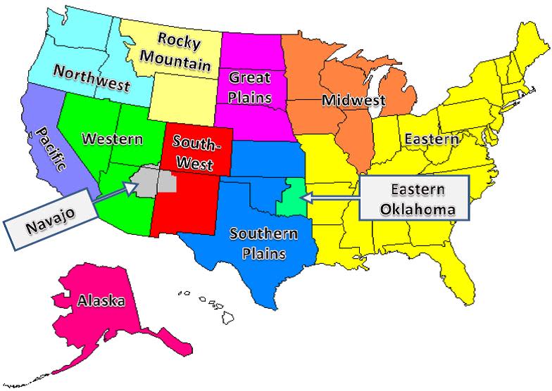
USGS Region : Midwest
Images


Contacts
Clyde Estes
Chairman