
Whitecap Dakota First Nation
- Whitecap I.r. 94 , Dundurn No. 314 , SK , S0K 1K0
- 182 Chief Whitecap Trail , Whitecap , SK , S7K 2L2
- 306.477.0908
- 306.374.5899
- Send Email
- https://fnp-ppn.aadnc-aandc.gc.ca/FNP/Main/Search/SearchFN.aspx?lang=eng
- https://geo.aadnc-aandc.gc.ca/cippn-fnpim/index-eng.html
- https://teaching.usask.ca/indigenoussk/import/whitecap_dakota_first_nation.php
- https://fnp-ppn.aadnc-aandc.gc.ca/FNP/Main/Search/FNMain.aspx?BAND_NUMBER=372&lang=eng
- https://en.wikipedia.org/wiki/Whitecap_Dakota_First_Nation
- https://whitecapdakota.com/
- https://www.familysearch.org/wiki/en/Canada_First_Nations
- https://kids.kiddle.co/Dakota_people
About
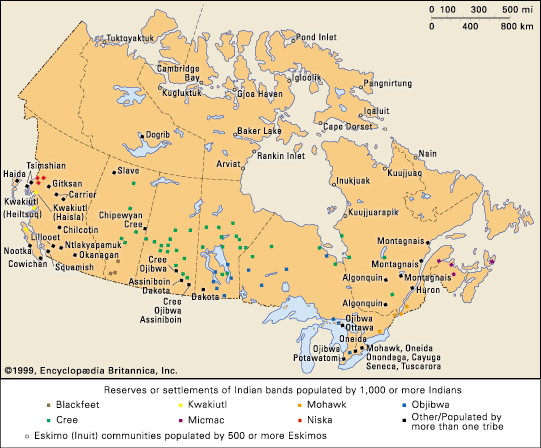
Whitecap Dakota First Nation, historically referred to as the Moose Woods Sioux Reserve, is a Dakota First Nations band whose reserve is located 26 km (16 mi) south of Saskatoon, Saskatchewan, Canada. It is bordered by the Rural Municipality of Dundurn No. 314 and located along Highway 219 between the South Saskatchewan River and CFAD Dundurn.
Whitecap Dakota First Nation was named after Chief Wapahaska (White Cap) who led his band to settle along the South Saskatchewan River after receiving a 16.774 km2 (6.476 sq mi) reserve in June 1881 despite not having signed a treaty. The First Nation has a registered population of 656 people as of March 2017; approximately 322 members of the First Nation live on-reserve and approximately 334 live off-reserve.
Click Here to See Google Map & Listing of Churches.
Click Picture Below to Access


Video Media
Additional Info
Whitecap Dakota First Nation, historically referred to as the Moose Woods Sioux Reserve, is a Dakota First Nations band located south of Saskatoon, Saskatchewan, Canada.
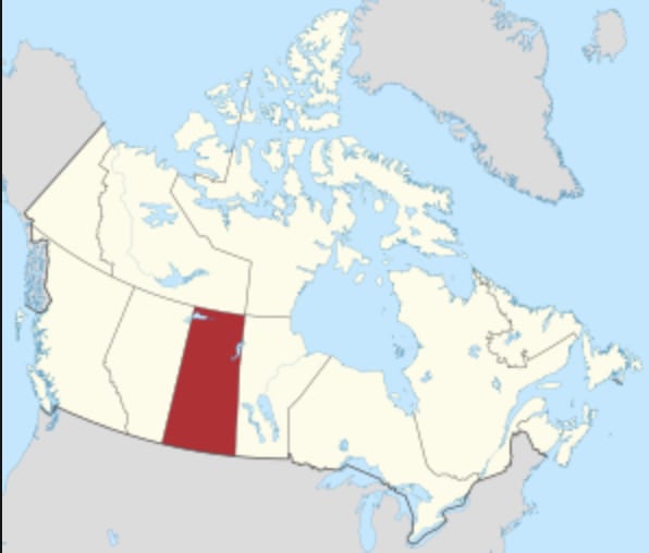
Province : Saskatchewan
Images


Contacts
Darcy Bear
Chief